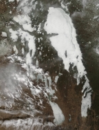
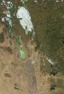
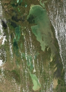
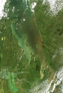
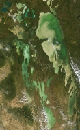
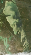
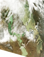
Click on a thumbnail to view captions and to scroll through the gallery manually. Hover the cursor over the thumbnail for the date the image was taken.
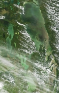
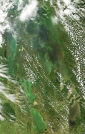
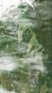
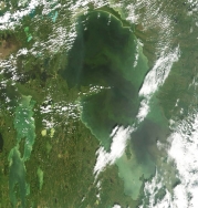
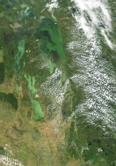
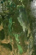
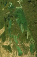
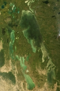
This summer may have seen a perfect confluence of events to promote growth of the blue-green algae. Last year, high runoff from the Red River carried through beyond the usual spring peak into the summer. Widespread flooding charged the flow with extra nutrients dissolved from vegetation that was inundated through most of July. This year, an early break-up was followed by warm spring and early summer temperatures that fostered algal growth. And then there was the relatively clear water that we saw in the South Basin. The last is a factor that usually distinguishes the North from the South Basin. Light penetrates more deeply in clearer water – providing a deeper layer through which algae can grow and reproduce. In much of the North Basin, that layer is typically several metres deep – and it is in this deeper photic zone that the great surface blooms of the last decade have formed. In the more turbid South Basin, light penetrates often only a few decimetres – reach into the water to your elbow and you cannot see your hand. But in many areas in the South Basin, you could see the bottom down to a metre or more. In late July the Red River was flowing relatively clear — carrying less than its usual load of silt and clay – and water in the south was unusually clear for the time of year. The result is the most widespread bloom in the South Basin in over two decades of satellite records. (G. McCullough)
